UNESCO Global Geopark Famenne-Ardenne : Géobalade of Nassogne
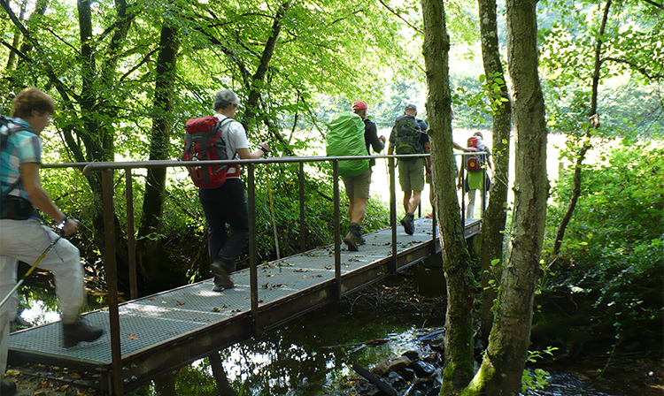
"Between Famenne and Ardennes": this countryside trail will take you through the last outposts of the Calestienne and the wooded forests, gateways to the Ardennes. After a gentle climb, it will lead you to the small, picturesque village of Ambly, steeped in history, with its outstanding examples of local architecture. You will also make the acquaintance of Haglund the wood-elf. He will lead you along the winding paths of the Forrières arboretum. End your walk by exploring the megaliths known as the Devil’s Stones, a magical site where history, archaeology and local legend come together.
Unsignposted trail - 12.6 km - Forrières.
Roadbook available for purchase from the Office Communal du Tourisme de Nassogne.
Designer: Unesco Global Geopark Famenne-Ardenne - www.geoparkfamenneardenne.be


Plan IGN

Photos aériennes / IGN

Carte des pentes (plan IGN)

Carte 1950 / IGN

Carte de l'état-major (1820-1866)

Open Street Map